
Modular products that share data, dashboards and a single source of truth — from field enrolment to verified credits.
Purpose-built mobile apps + web dashboards that measure, report and verify each carbon pathway. Explore any platform in detail.
✨ Tap any tile to flip it and reveal the details.
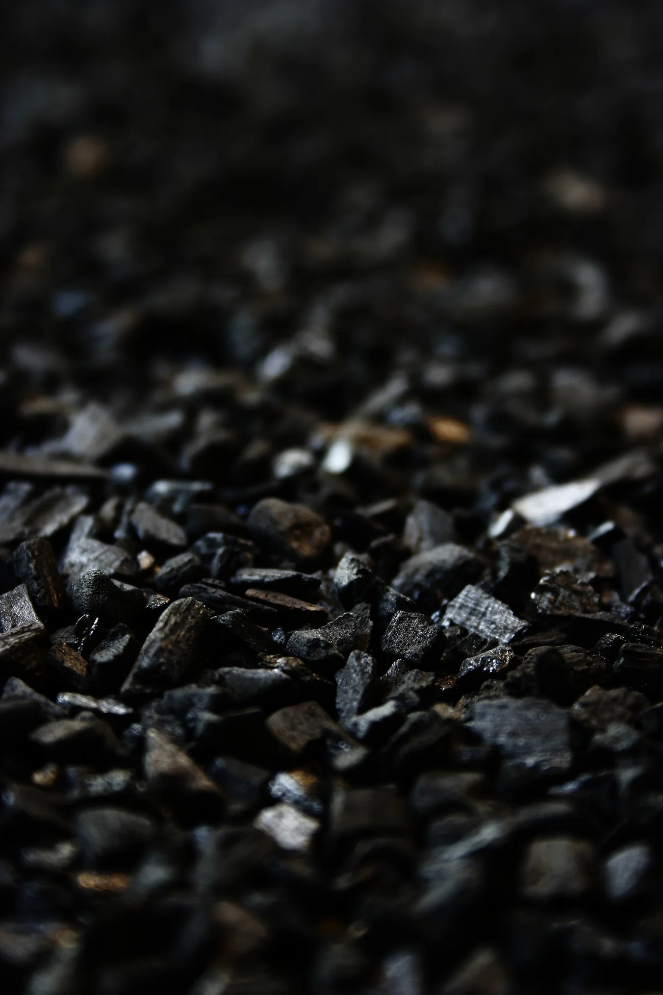
Mobile apps + dashboards for biochar carbon projects — real-time feedstock & production logging, GPS traceability, offline mode and auto carbon-credit estimation using verified methodologies.
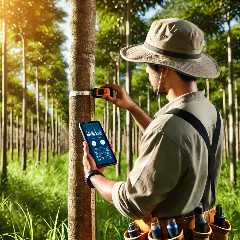
Tree-level dMRV for ARR and agroforestry carbon programmes — a GPS tree census logging species, age, height and girth (DBH) with photos, survival tracked season over season, satellite NDVI and canopy checks, allometric biomass and VVB-ready carbon reports.

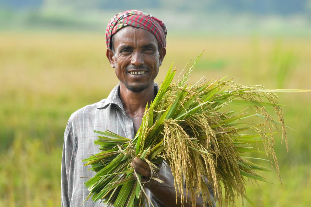
Direct seeding removes prolonged flooding from rice — cutting methane ~30% and water 30–40% with comparable yields. We map adoption from satellite sowing signatures and stack it under DREAM.

Mangroves store carbon at 3–5× the density of forest in biomass and waterlogged soils. We map canopy & extent from satellite, estimate carbon stocks and monitor restoration for high-integrity credits.
End-to-end carbon programme management — mobile + web dMRV across AWD, biochar, agroforestry and more.
Field-survey app collecting farm polygons, geo-tagged photos & crop info — with live surveyor monitoring.
Crop-loss assessment using multiple indices to calculate exact loss % and area-loss % for better payouts.
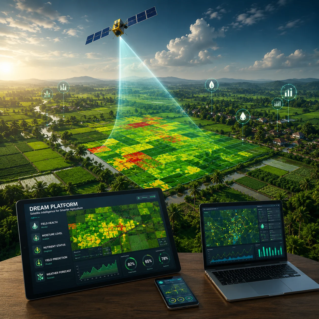
Crop acreage, health (NDVI/EVI/SAVI/CI) and yield estimation from satellite imagery and crop models.
Field, satellite and sensor data flow into one model — no silos, no re-entry.
Role-based views for developers, buyers, insurers and verifiers.
Every figure traces to its source — built for registry scrutiny.
Book a guided walkthrough tailored to your programme.
How a digital measurement workflow closes the data gap, from the first field measurement through to credit issuance.
6 min read →Boundaries that do not match the ground, photographs without provenance, duplicate enrolments — and what prevents each of them.
7 min read →