Satellite, radar and drone analytics that ground every carbon claim and every crop decision.
Pick a category to explore the remote-sensing services we deliver.
Satellite + machine-learning insight across the entire crop cycle — accurate, fast and fully remote.
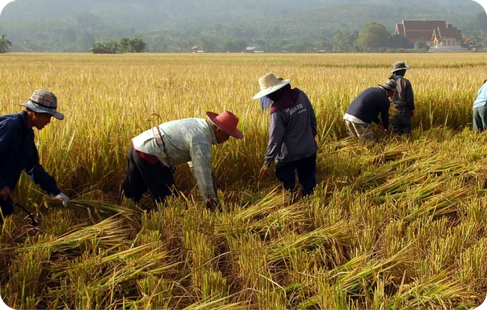
Precise crop-area mapping from high- and medium-resolution optical and SAR satellite imagery, combined with machine learning. Get accurate, actionable acreage figures in record time — without deploying large field teams.
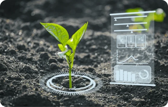
Time-series satellite imagery and machine learning deliver reliable, up-to-date sowing patterns and crop status. Best-in-class accuracy and real-time insight — entirely remote, with no on-ground surveys needed.

Plot-level loss estimation for agri-insurers and banks, built on satellite imagery and machine learning. Precise, data-driven payouts that strengthen risk management and speed up financial decisions.
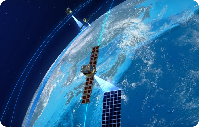
Synthetic Aperture Radar for crop growth, soil moisture, flooding and crop-type identification. As active remote sensing, SAR penetrates cloud cover and captures data day or night — in any weather.
Track progression from field to harvest with a continuous temporal satellite record.
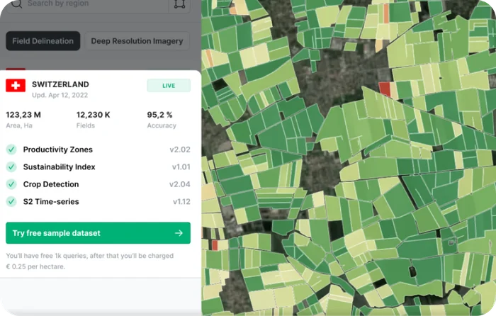
Track change over time across whole landscapes — revealing crop growth patterns, environmental shifts and reliable yield predictions from a continuous, multi-date satellite record.
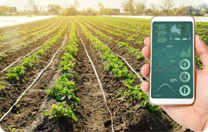
Real-time harvest status and accurate harvest estimates from temporal satellite imagery — helping you optimise logistics, crop management and overall productivity through the harvest window.
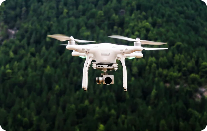
State-of-the-art drone technology for aerial surveys and real-time crop monitoring — high-resolution, ground-truth insight to optimise yield and manage resources efficiently.
AI-delineated land features extracted straight from satellite imagery.
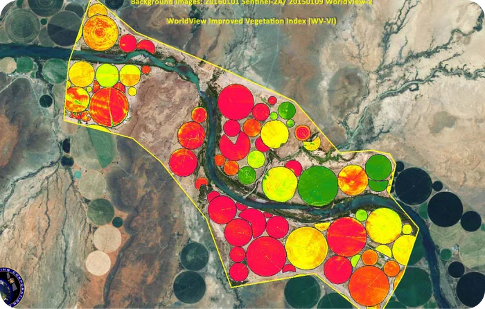
Detailed, accurate digital cadastral maps that simplify land-ownership records, resolve boundary disputes and streamline land-use planning for governments and enterprises alike.
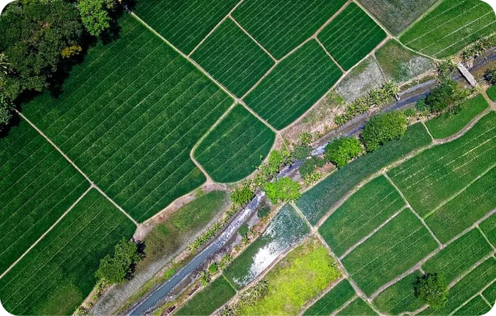
Advanced satellite imagery and AI automatically extract and define farm boundaries — enabling precise land management, parcel-level analytics and regulatory compliance at scale.
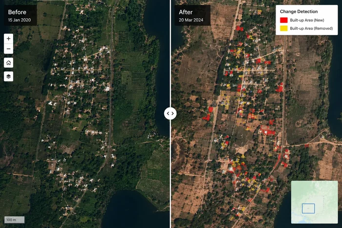
Multi-date satellite comparison pinpoints exactly what changed on the ground — land-use conversion, deforestation, encroachment or new plantation — with pixel-level precision and clear before/after evidence.
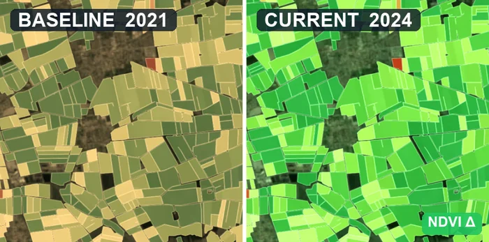
Establish a verified starting point for every carbon and land programme — land cover, vegetation and boundary baselines mapped from satellite imagery and ground truth, ready for MRV and additionality claims.
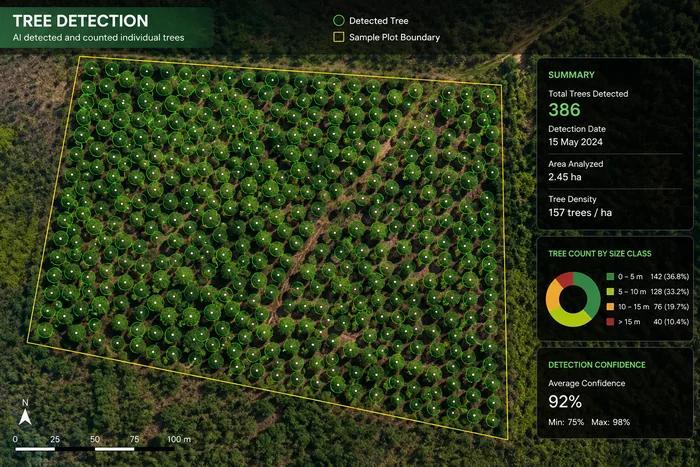
AI identifies and counts individual trees from high-resolution imagery — delivering canopy maps, tree density and stand counts for agroforestry, plantations and reforestation monitoring at scale.
Tell us the question — we'll design the remote-sensing workflow to answer it. Who we are, and where we already work.
How a digital measurement workflow closes the data gap, from the first field measurement through to credit issuance.
6 min read →Boundaries that do not match the ground, photographs without provenance, duplicate enrolments — and what prevents each of them.
7 min read →