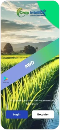
💧AWD dMRV App
Log verifiable water events that cut rice methane by up to 50%.
- Water-event & field logging
- Satellite + IoT verification
- Gold Standard ready
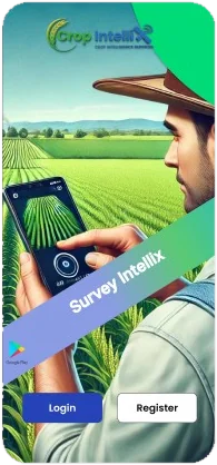
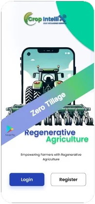
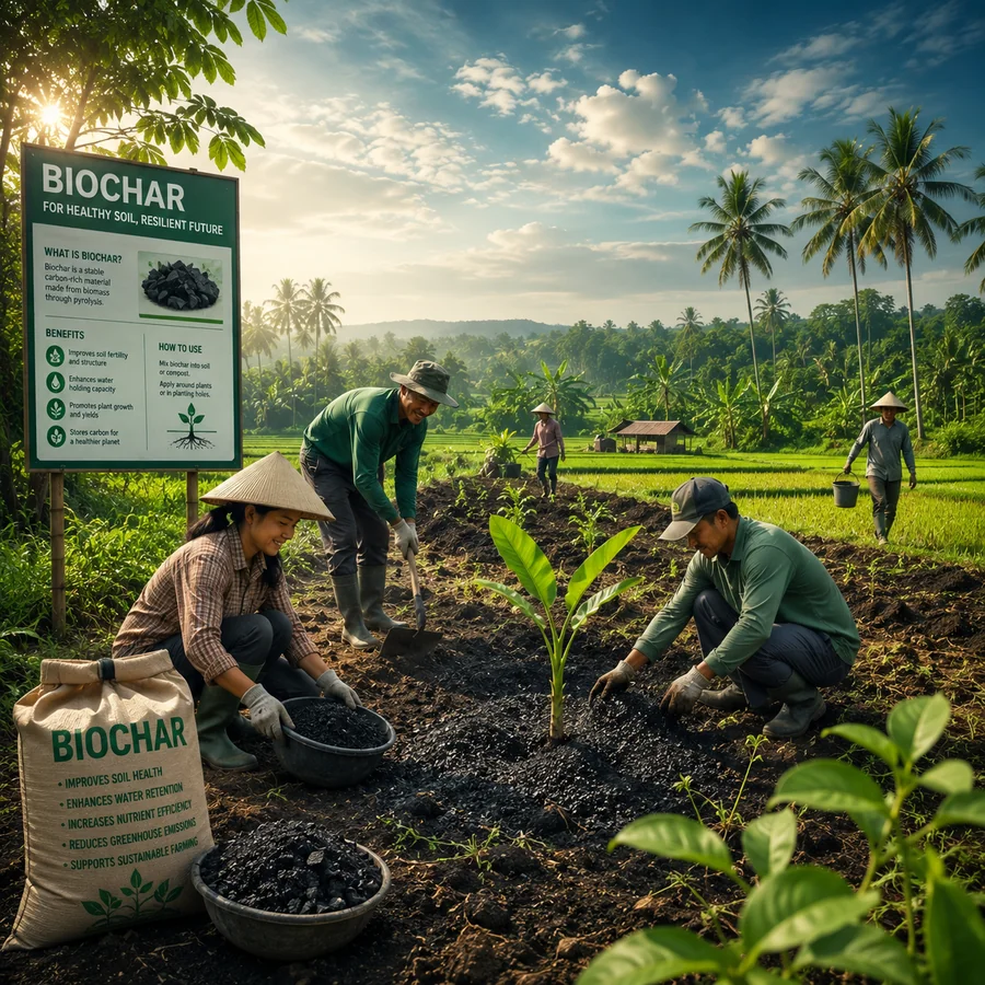
Mobile-first apps for every pathway — turning on-the-ground field activity into audit-ready evidence, each paired with satellite monitoring behind every credit.
💧Log verifiable water events that cut rice methane by up to 50%.
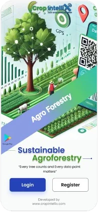
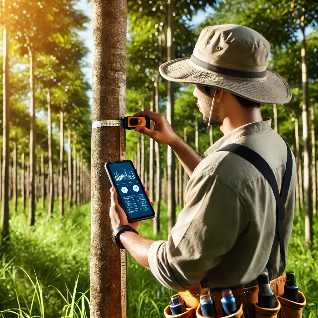
🌳Tree-by-tree census, DBH and survival tracking for high-integrity ARR removals.
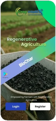
🔥Track production and application for durable, long-lived carbon removal.
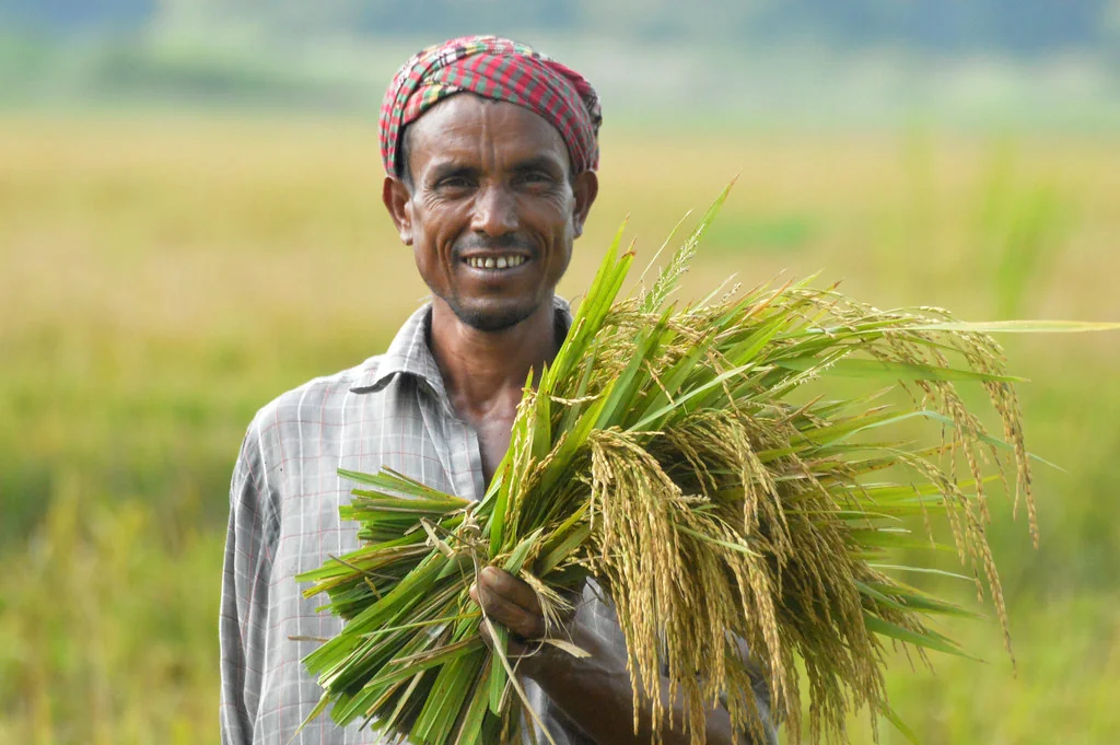
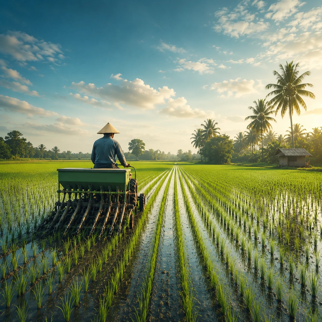
🌱Monitor water-smart rice establishment from sowing to harvest.
🌊Map and monitor coastal blue-carbon restoration at scale.
Every app feeds the same chain, so a verifier can trace a credit back to the plot, the person who recorded it and the satellite scene that corroborates it.
A field officer or farmer records the activity at the plant or the plot, with no signal required. Each record carries its own coordinates, a photograph taken at capture and a timestamp.
Records surface on the dashboard as they sync. Every one is checked rather than sampled, and a second review pass runs before anything goes forward — with validators and field teams resolving queries in-platform while the team is still on site.
Satellite time series test the field claim per polygon. Sentinel-1 radar sees through monsoon cloud and at night; Sentinel-2 optical carries the vegetation indices.
Methodology-aligned reporting, with the survey data, photographs, GPS trails and plot boundaries packaged as the evidence a validation and verification body works from.
The same core runs under all five pathways, so a team learns one workflow and a programme gets one evidence standard.
Surveys run well beyond mobile coverage. Records queue on the device and sync when the team is back in range.
Every record carries its own coordinates, a photograph and a timestamp — the provenance a verifier asks for, captured at source.
All data collected by the mobile app is validated, not sampled, with a second review pass before a record goes forward.
Field officers work in their own language. The AWD app ships in eight, with forms that follow the methodology’s own terms.
Each activity is cross-checked against Sentinel-1 radar and Sentinel-2 optical time series, per polygon.
ISO/IEC 27001:2022 certified, TLS in transit and role-based access — because programme data carries farmer personal details.
“These apps do not sit still. Every release answers something a field team has actually run into, and keeps pace with what programmes need next — new methodology requirements, new pathways and geographies, tighter evidence for audit. So every season starts on technology that is already proven in the field, current with the standards, and ready to deploy from day one.”
Boundaries that do not match the ground, photographs without provenance, duplicate enrolments — and what prevents each of them.
7 min read →How a digital measurement workflow closes the data gap, from the first field measurement through to credit issuance.
6 min read →A walkthrough with your pathway, your geography and a sample of the evidence pack a verifier would receive.