"Every tree counts, every data point matters"
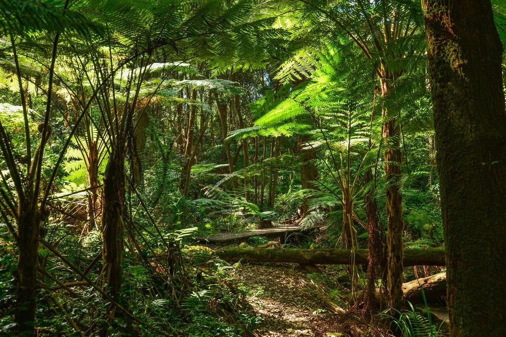
Agroforestry integrates tree planting with farming to enhance carbon sequestration, soil health, biodiversity and climate resilience — while generating carbon credits for farmers. We run it as a tree-level census: every tree geotagged by GPS, photographed and measured for species, age, height and girth (DBH), then re-measured each cycle for survival and growth — with satellite NDVI and canopy change over the same parcels.
By integrating trees with crops and livestock, agroforestry builds carbon stock above and below ground while reducing greenhouse gases. It improves soil health and biodiversity — and the credits it generates incentivise sustainable practices and reforestation.
Designed for project developers and stakeholders, our platform enhances project management, data analysis and carbon-benefit assessment — making agroforestry initiatives more efficient, transparent and impactful in carbon-offset markets.
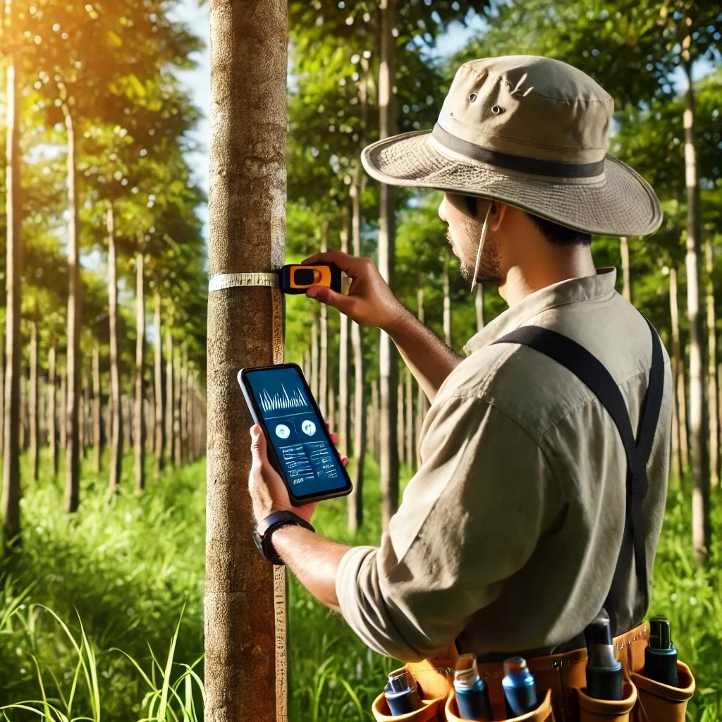
Farmer and plot onboarding, then a GPS tree census — every tree geotagged and photographed, with species, age, height and girth (DBH) captured online or offline.
Canopy cover, NDVI and land-use change (LULC) tracked over the same parcels between field visits — an independent check on the baseline and on what is actually standing.
Species-wise allometric equations turn DBH and height into above- and below-ground biomass (AGB/BGB), and into tCO₂e per tree, per plot and per project.
Two-step validation of every record, then audit-ready exports — survey data, photos, GPS trails and plot boundaries as shapefile, KML or GeoJSON — for the VVB and the registry.
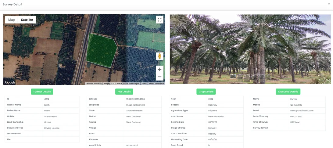
Track survey progress and data from the desktop in real time.
Validate all data collected by the mobile app for 100% accuracy.
Connect validators and the ground team directly within the platform.
Check accuracy of every record and reject incomplete surveys.
Built-in analytics turn field data into decisions.
Save time and resources across the whole field operation.
Verra’s ARR methodology VM0047 (v1.1, active since May 2025) quantifies carbon removals from afforestation, reforestation and revegetation — and it gives a project developer two routes to the number.
The area-based approach suits land-use change and leans on remote sensing plus field sampling against a dynamic baseline. The census-based approach covers dispersed plantings that keep the existing land use, and it asks for a complete census of planting units.
Agroforestry is almost always the second case: the trees go into land that stays farmed. That is why this platform is built tree-first rather than plot-first — a complete, re-visitable census of every planting unit is the product, not a by-product of it. VM0047 supersedes the CDM methodologies AR-ACM0003 and AR-AMS0007, which many older agroforestry and farm-forestry programmes were designed against.
Projects also run under Gold Standard’s afforestation and reforestation requirements, under Plan Vivo for smallholder programmes, and against ISO 14064-2 for project-level accounting. The evidence all of them rest on is the same: per-tree records carrying coordinates, photographs and dimensions.
A tree planting programme rarely looks like a plantation. Trees go on bunds, along boundaries, between crop rows and around homesteads — which is exactly why a per-hectare average fails and a tree-level census does not.
Species lists, allometric equations and wood-density values are configured per programme, so a project measures against the parameters its own methodology approved rather than a generic default.
Digital measurement, reporting and verification for agroforestry carbon projects: field data captured digitally at the tree, dashboards that validate it, satellite layers that cross-check it, and reporting that turns it into tonnes of CO₂e an auditor can follow back to source. It replaces the paper survey forms and spreadsheets where most agroforestry programmes lose credits.
Per tree. The headline rate of 5–15 tonnes of CO₂e per hectare per year is a summary of numbers that were never collected per hectare — it is the sum of individual trees divided by the land they stand on. Species mix, planting density and stand age move a project anywhere within that band.
DBH is the diameter at breast height, conventionally 1.3 m above the ground, and in the field it is usually captured as girth and converted. It is the primary input to the species-wise allometric equation that estimates above-ground biomass, so an error in DBH propagates straight into the tonnage a project can claim.
For ARR removals the current Verra methodology is VM0047, which replaces the CDM methodologies AR-ACM0003 and AR-AMS0007. Dispersed agroforestry plantings that keep the existing land use fall under its census-based approach, which requires a complete census of planting units. Gold Standard A/R requirements and Plan Vivo are also used, particularly for smallholder programmes.
Each tree carries its own coordinates and a photograph taken at capture, so a returning surveyor navigates to the individual plant rather than searching a plot. Re-measuring the same tree is what produces a growth increment; finding it gone is what records mortality. A project that cannot reconcile two surveys tree by tree has two inventories, not a growth claim.
Yes. Agroforestry surveys routinely run well beyond coverage, so records, photographs and GPS positions are captured offline on Android and synced when the team is back in range. Validation runs during the survey, so a missing DBH is a two-minute fix in the field rather than a lost plant at verification.
For a demo, reach out to us — we'll walk you through the field app and dashboard.
What sets the volume a project can issue, what the field app captures, and what a verifier asks for before paying.
7 min read →Agroforestry counts trees, not plots. That single difference reshapes the field survey and the verification workflow.
7 min read →How a digital measurement workflow closes the data gap, from the first field measurement through to credit issuance.
6 min read →