Digital Measurement, Reporting & Verification for Alternate Wetting & Drying — periodic drying and re-flooding of irrigated lowland rice that cuts water use up to 30% and greenhouse-gas emissions up to 50%, while maintaining yields.
Instead of keeping paddy continuously flooded, AWD lets fields dry and re-flood on a cycle. That single change starves the methane-producing bacteria in waterlogged soil — slashing emissions and water use without hurting the harvest.
Agriculture, forestry and other land-use practices account for 24% of global greenhouse-gas emissions (FAO). AWD is one of the most scalable, farmer-friendly levers to bring that number down in rice — the staple of billions.
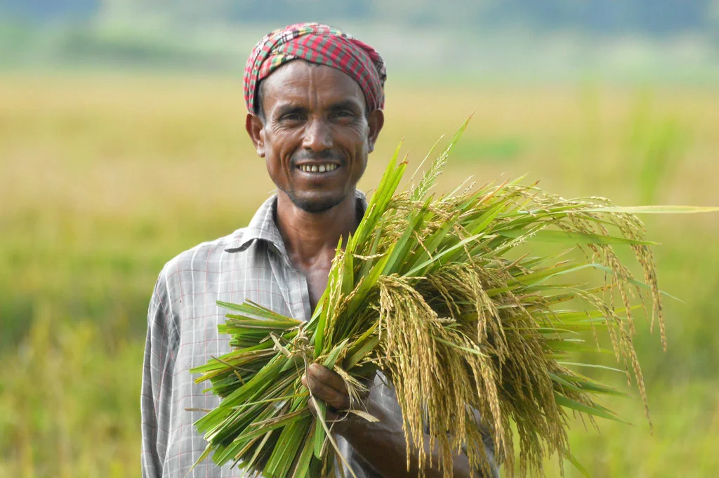
Every step is captured digitally, geo-tagged and time-stamped for audit-ready evidence.
Enrol the farmer, collect land records, capture photo & info, and generate a Farmer Unique ID.
Record seed variety, crop duration, sowing date and land-prep details via the mobile app.
Geo-tag the farmer's plot and link the unique ID to its boundary.
Install the AWD pipe with geo-fencing, accuracy checks and a geo-located, time-stamped photo.
Photograph each aeration event with geo-fence, date, time and accuracy checks.
Map aeration events using satellite & remote sensing and generate the AWD-events model.
Record the benefits shared with the farmer, with full supporting information.
Audit-ready data flows to verification bodies for high-integrity credit issuance.
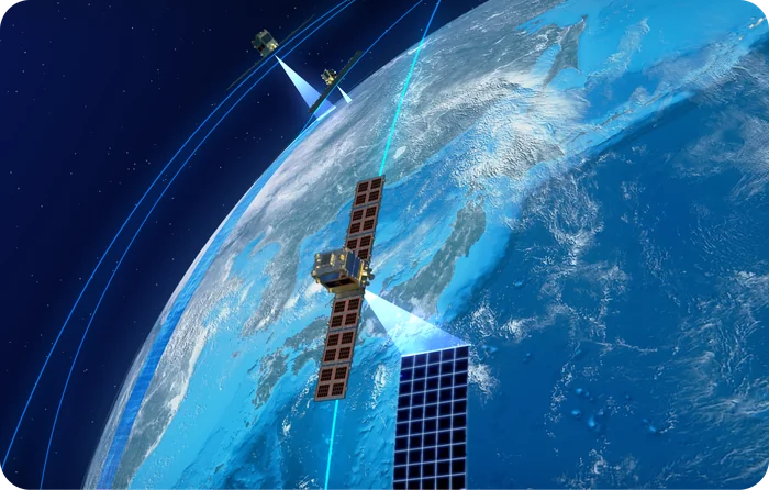
A cloud, satellite-imagery-based analytical tool that corroborates field-reported AWD events with what's actually happening on the ground.
AWD reductions can be quantified under all three programmes. Most registered projects use AMS-III.AU, the UNFCCC small-scale CDM methodology for methane emission reduction by adjusted water management practice in rice cultivation; Verra and Gold Standard carry the voluntary-market routes. The field evidence each one asks for is substantially the same.
Evidence that the water regime actually changed — the baseline flooding pattern, the drying events, and the dates each occurred, plot by plot.
Geo-fenced plot boundaries, pipe installation with time-stamped photographs, and every aeration event recorded inside the fence with date, time and accuracy checks.
Satellite mapping of flooding and drainage extends that field evidence across every plot in the programme, rather than a visited sample.
AMS-III.AU — the small-scale methodology most registered AWD projects are quantified under, issuing CERs. It is the reference point verifiers work from for adjusted water management in rice.
VM0051 — Improved Management in Rice Production Systems — is the primary VCS route for AWD. VM0042 (Improved Agricultural Land Management) can also apply to rice water management, depending on project design. Credits issue as VCUs.
The DREAM methodology (2026) quantifies rice methane digitally and lets several low-emission practices stack in one project, rather than crediting AWD alone.
CropIntellix supplies the MRV for projects on any of these routes — the plot-level field record and satellite evidence a validator or verifier asks for. The registry approves the project; our job is to make the underlying data defensible.
Manual carbon-programme data is plagued by duplication, boundary overlaps, missing coordinates and slow audits. The AWD platform removes those failure points by design.
Reliable capture with very limited human intervention.
Data is structured and instantly available for verification.
Consistent data across users and geographies.
Measurement, reporting & verification made easy and quick.
See the mobile app and dashboard in action with your own fields and methodology.
Up to 50% lower emissions and 30% less water, with yields held — and the evidence a verifier needs to accept the credits.
7 min read →AWD, direct seeded rice and the Gold Standard DREAM methodology — how flooded-paddy methane is cut, and how the reduction is proven plot by plot.
9 min read →